
We offer 19,861 photos on over 3,083 topics as of 6 March 2023, and we have provided about 4,574 full versions upon request. See some of our best shots.
We give high quality, high-resolution photos to individuals for their personal use for free. We charge a one-time $50 fee for commercial use, with a 20% discount for 3 or more. You will see a link to request a photo when viewing it.
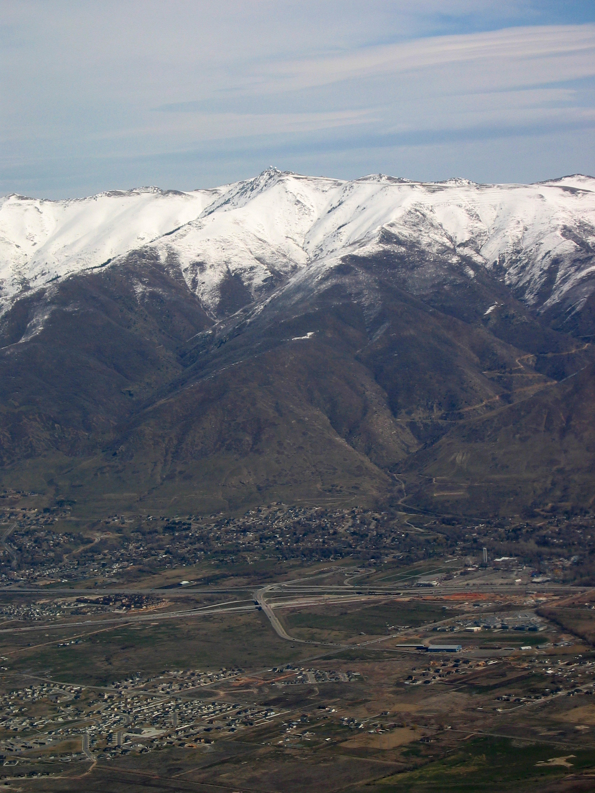
| An aerial view of Farmington, Utah, with the Wasatch Mountains and Francis Peak (in the center) with the white domes of the Francis Peak Federal Aviation Administration Radar Station. | |
| Photographer: | Roy Tennant |
| Topics: |
Wasatch Mountains Farmington Francis Peak Utah |
| Date: | 2013-05-01 |
This photograph has been requested 3 times.
Request the full version for: Personal use or Commercial use.

 with the white domes of the Francis Peak Federal Aviation Administration Radar Station.)